Thursday, December 13, 2012

iPad GPS

We get a lot of questions at GeoSpatial Experts about iPad GPS quality and generally how the GPS works in an iPad. 

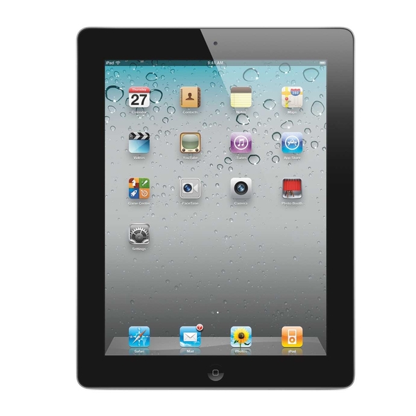
If you are looking to buy an iPad and you are concerned about GPS, you need to purchase one with the 3G/cellular option.  The iPad with the 3G/cellular option has an embedded GPS. The WiFi only iPads do not have an embedded GPS.

Because the 3G iPad has a GPS chip, you can be in a completely disconnected environment (no internet, no WiFi) and still obtain GPS coordinates.  These iPad that have chips have AGPS chips so they generally have better start up performance or time-to-first-fix than some other GPS chips.  The newest cellular iPads also have GLONASS which allows you to access additional satellites.

How accurate is an iPad GPS?  To obtain GPS data, your iPad will first try to use the GPS chip, then WiFi, then cell tower triangulation.  Obviously the way it obtains a fix will affect the accuracy but there are some general guidelines for accuracy. 

When you use an iPhone or iPad to geotag a photo, the accuracy is about 100 feet (about 30 meters), because Apple only stores GPS data down to the nearest second in latitude and longitude. With our GeoJot+ app we actually store the full resolution of the GPS, which is the accuracy of a consumer GPS of 3-5 meters. You can see the accuracy on the screen and set accuracy requirements. 

We get similar questions for the iPhone but those are easier to answer.  All iPhones have a GPS chip.  All iPhones and iPads have a digital compass.

The information above is for iPad2s and newer.  We don’t even look at the original iPads because they don’t have cameras.

The iPod Touch does not have a GPS embedded.  Bad Elf can be a good GPS option For WiFi only iPads and the iPod Touch.  We have tested the Bad Elf GPS receivers with an iPod Touch and they have worked well.  They come in connected and Bluetooth models.

Wednesday, December 12, 2012

Welcome to my blog - field data collection to final reports

Welcome to my blog - field data collection to final reports.  More and more organizations are seeing new mobile technology as an opportunity to become more efficient and effective, to gain a competitive advantage, and to exploit new business opportunities.  But because all the technologies involved are evolving so quickly, there are a lot of questions.  

This blog has been created so that people interested in these technologies can go to one place to share information about the newest advances, latest equipment and to see how people are applying their interesting new gadgets to real world applications. Topics will include: field data collection using photos, Android smartphones and tablets, iPhones, iPads, photography, geotagging, GIS, GPS, cameras, photo maps, and more. We will also discuss how these technologies can be integrated into existing workflows and processes.  

When I first started GeoSpatial Experts in 2001, digital mapping was something foreign to most people outside of GIS (Geographic Information System) professionals. Google Earth and Google Maps didn’t exist.  No one had heard the term geotagging.  There weren't commercial cameras with GPS, most cell phones didn’t have GPS, and a cell phone camera wasn’t commonplace.  I developed my company’s first product, GPS-Photo Link to fill a gap, allowing people to marry a photo and GPS coordinates with the intent to map, report, or watermark the results.  Now GeoJot+ is helping them to include more attribute information and use the latest mobile technology. 

At GeoSpatial Experts, I have been working with customers who were on the bleeding edge of these technologies. They were using our products to carry out inventories, audits, site surveys, and to provide proof of performance.  But these people were usually GIS professionals.  The technology is now moving to a larger audience.  Businesses without GIS departments are now seeing the value of location.  Adding location to a photograph along with descriptive information (attributes), is a powerful and yet simple way to document existing conditions in a visual manner that is associated with a specific time and place.   

A little more about my background - I have a Bachelor of Science in Software Engineering and pioneered GPS/GIS applications programming at avionics companies like Bendix/King and II Morrow Inc (precursor to Garmin) as well as several agricultural technology companies focusing on the use of GPS and GIS. GPS and photography are my hobbies, my livelihood, and my passion!