Natural Resource Inventory
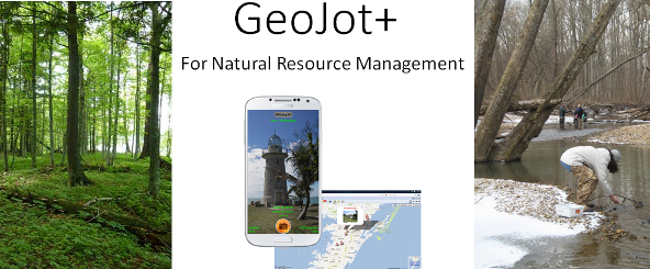
Used by National Park Service, Fish and Wildlife, BLM, Forest Service, the Nature Conservancy, as well as countless state, local and non-profit organizations, GeoJot+ is the ideal solution for disconnected field data collection for natural resource management.
GeoJot+ is widely used for:
- Trail planning
- Documenting trail deficiencies
- Sign inventories
- Facilities
- Monitoring conservation easements
- Wilderness inventory planning
- Mapping ecological survey data
- Tree surveys
- Storm response and hazard identification
- Vista Management
- Photo survey and photo documentation
Contact us for forms, templates and detailed workflows in natural resource management. Our training videos are a quick way to get started with basic functionality for the GeoJot+ app for mobile data collection. To learn more check out our uses cases and recorded webinars.


