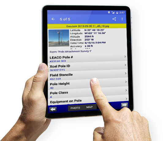
Mobile data collection made easy.
Learn MoreThe leader in photo mapping software since 2001, GeoSpatial Experts has resellers across the globe and thousands of customers worldwide.
Try geojot+
Collect photographic evidence of conditions or assets in the field quickly and easily.
Try it NowIndustries
See how the GeoJot+ app is used for mobile data collection in specific industries.
Learn MoreCase Studies
Learn how companies are using smartphones & tablets to collect data they need.
View Cases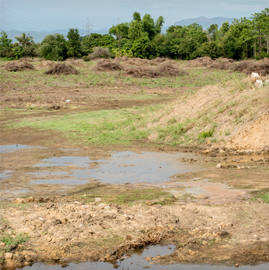


The Choice is Yours
Or
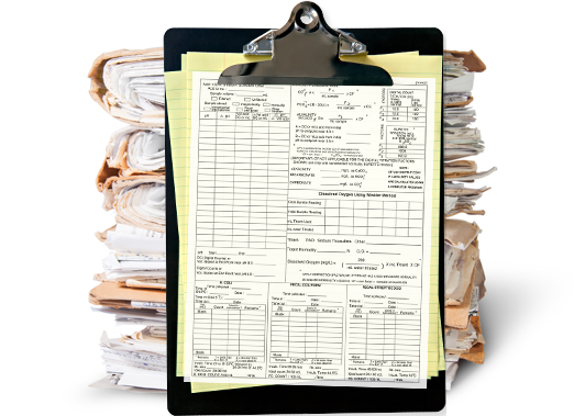
No more carrying a separate clipboard, form, pen, gps and camera for mobile data collection.