Geolocated photos as federal records in criminal investigations
As they say, a picture is worth a thousand words. This is particularly true when those photos also have data such as location, date, time, and descriptive text embedded in the picture. Photographic evidence can make all the difference when prosecuting criminal investigations. A single picture may convince a jury of the guilt or innocence of the defendant.
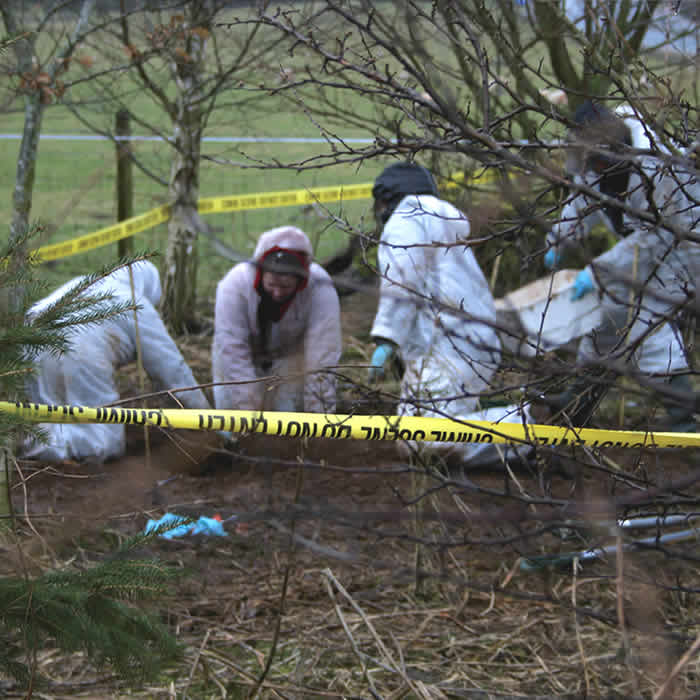
Photo requirements for a federal investigation
When using site inspection photos as evidence in a federal investigation, there are special requirements for each image. Requirements include the following information in the caption or table:
- File name: the original file name as the born-digital image, which can also serve as the unique file name
- Date and time: local
- Photographer: identity and organizational affiliation
- Project or case number: Can be used as an identification number
- Project or case title
- Description: information about image content
You can find the full federal regulations pertaining to digital photograph records on the US government publishing office website. Item h gives context for what the current requirements must be for digital photos as federal records.
GeoJot+ for for collection of photographic evidence
Many digital cameras capture basic information and store it in the EXIF (Exchangeable image file format) header of each photo. This information can include date, time, camera settings, and copyright. In addition, the GeoJot+ app from GeoSpatial Experts allows the photographer to capture GPS location, basic camera information, photographer’s name, and up to 80 additional pieces of information. GeoJot+ permanently writes all of this data into the photo’s EXIF header. This means that the data can never be separated from the photo. If you archive an original copy of the photo, you are also archiving the data.
The GeoJot+ data collection system consists of 3 components.
- An app for smartphones and tablets that allows users to capture geotagged photos and then prompts users to fill out their selected data collection form.
- A desktop processing engine which allows users to process the data, add then add lab information, sample data, screening & analytical results. Users can then create reports, watermarked photos, Esri or Google maps, as well as integrate the data into their enterprise database.
- An administrator’s dashboard allows an organization to share their GeoJot+ activations across users and devices.
As evidence, some cases simply require watermarked photos or basic Google Earth maps with photos and data tables. Other cases require full inspection reports. You can archive GeoJot+ photos with the accompanying data in a GIS such as ArcGIS or a non-spatial database. You can create all of these with GeoJot+ which acts as a Swiss army for output creation.
Other important features pertaining to photographic evidence include:
- Keeping the original image in addition to the working copy of the image if changes are made back in the office
- Allowing users to dynamically organize or rename the photos based on collected data
Other data collection
While some users specifically need photographic evidence for use in court, many other organizations have slightly more relaxed requirements for other uses. Organizations across the world are collecting data for proof of compliance, proof of performance, inventories, site surveys, inspections and general field work.
GeoJot+ and its precursor GPS-Photo Link are used by thousands of organizations around the world including the EPA, National Park Service, Forest Service, Army Corp of Engineers, Coast Guard, BLM, Fish and Wildlife, and countless private companies, as well as state, local and foreign government entities around the world.


